We’re paying closer attention these days to some of the treasures we have in our local forest, especially the number of ancient trees.
Our work is being hugely assisted by contact we’ve been able to make with Laurie Huckaby, the Forestry Service specialist in Ponderosa pines who assisted our neighborhood those many years ago. She’s now retired, but has sent us invaluable records and has offered to continue supporting our current work.
We live with such an abundance of trees it’s easy to take them for granted–oh, yeah, another tree. Truth is, to know a tree has been growing in our mountain neighborhood for centuries is a reflection of a real miracle.
With the history of Colorado so linked with forestry and mining, the number of legacy trees is actually limited. Entire forested mountaintops, as far as the eye can see, were stripped clear as Colorado was settled, for forestry products, for wood for building, for frameworks supporting mining shafts. And intentional burning of forests was an accepted method for prospecting gold.
Our corner of Northern Colorado escaped much of this historic devastation. But recent events remind us wildfire is always a danger, and changing global climate events pose increasing threats to the forests that surround us.
So we pause in our lives to appreciate these wonders of nature we live with.
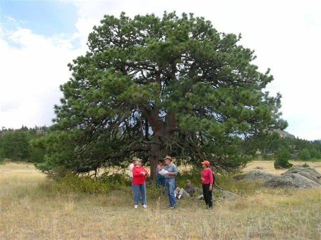
Ted Sammond, naturalist and an active member of the Ecology Team at GVM, went out this week to explore and document some trees that appear to have gone unnoticed in the 2009 surveys our residents did.
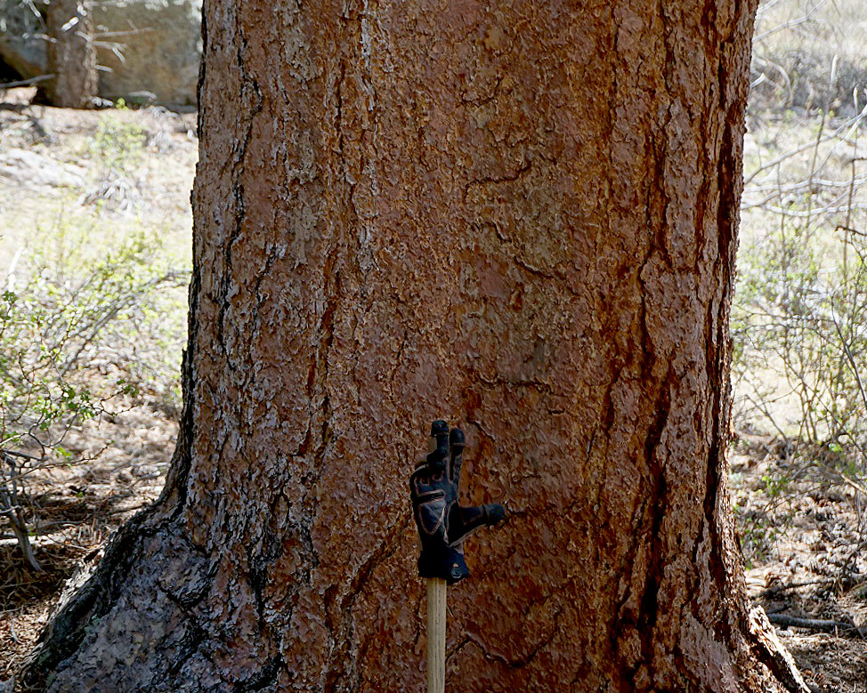
“The biggest tree I saw today was 36” diameter at breast height.
“The picture of it does not do it justice as it so wide that when I backed up to get the whole tree in the picture it looks small.”
Our studies and building of our records of these trees will continue.